We are making improvements to the ArcGIS Viewer for Flex template and I wanted to take some time to detail some of the improvements that we are making and what can be done with them. The new ArcGIS Viewer for Flex template will be released alongside 4.2. It is worth noting that this release of the ArcGIS Viewer for Flex will no longer support ArcGIS 9.3.1. If you are still using 9.3.1 then you will need to continue using the old template.
Built on the latest ArcGIS Viewer for Flex
Recently the ArcGIS Viewer for Flex was updated to 3.1. The ArcGIS Viewer for Flex template is based upon this so you will get all the bug fixes and updates contained within this release. You can find details of the bugs fixed at 3.1 here.
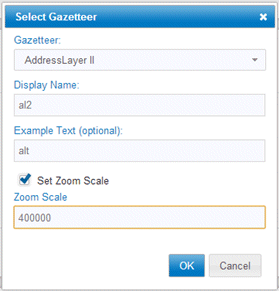
Specify Gazetteer Zoom Scale
When provisioning a gazetteer in the ArcGIS Viewer for Flex template you can optionally specify a scale to zoom to when a match is found. This allows you to alter the scale for different data types so a postcode result could show at a larger scale than an address locator.
Geoprocessing
You can now consume geoprocessing tasks provisioned within LocalView Fusion in your ArcGIS Viewer for Flex template. The task user interface is automatically generated based on the task metadata. This is a significant feature that we think will greatly increase the number of uses for the template.
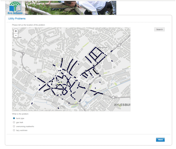
Identify Improvements
The identify window will now always use field aliases if they exist. Previously the field names were shown.
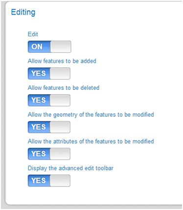
Improved Editing
Allow specific locking down of editing to just adding, modifying, deleting or editing attributes only. An advanced editing mode is also now supported.
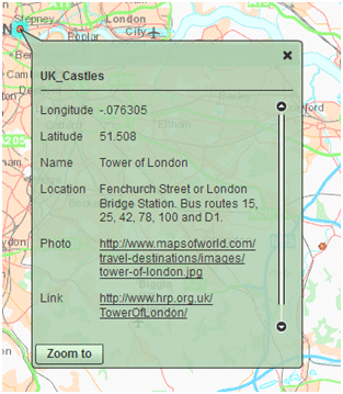
Attribute Viewer
You can now provision an attribute viewer. The attribute viewer is a widget that allows you to view features attributes, edit them (if applicable) and export them to a csv file.
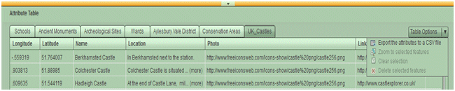
More information on the attribute viewer widget can be found here.
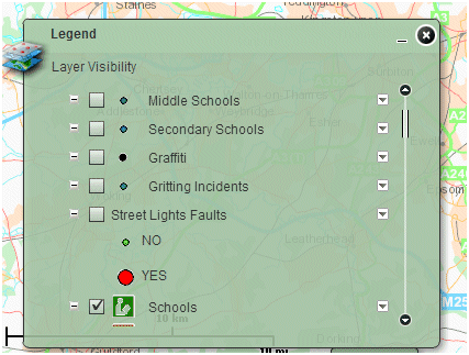
New Legend Control
Layers with more than one symbol now correctly show all symbols for the layer. Previously only the first one was shown. If a layer has metadata on the service end-point then this can also be viewed along with sliders to change the transparency.
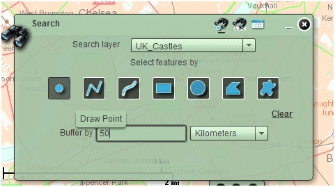
Search by Buffer
You can now search for items within a buffered geometry.
Support for Geoportal Server
You can now display information from geoportals. You can provision geoportal servers and then query them from within your application.

More information on geoportals and geoportal server can be found here.
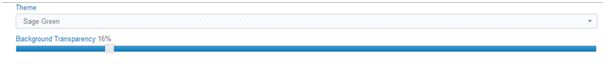
Theming
In previous releases you were limited to the blue UI theme. It is now possible to choose from a list of styles and set transparencies.
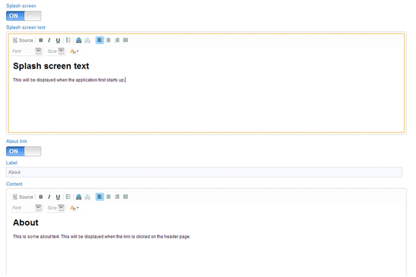
Improved Splash Screen provisioning and addition of About Text
Splash Screen Text can now be formatted. Previously it only accepted plain text. About Text can also be added if required and formatted in the same way.
 On top of this functionality there is also a host of fixes and efficiency improvements that will be announced in the release notes.