
Collecting data in the field as a group using Collector for ArcGIS
/In this blog post we will look at how you can use Collector for ArcGIS to collect data in the field as a group. Data will be collected by the students using their smartphones through the Collector App using a data form that the leader has created. This means that everybody collects consistent data which is compiled into one dataset which can then be used by the group through ArcGIS Online.
It is an easy and effective way to collects a lot of data in a short period of time. You can collect many points in a small area, or spread the group out to extend the coverage of the dataset.
What do we need?
Before we start, we need to make sure we have the following:
- Access to an ArcGIS Online subscription and a user account for each participant
- A Feature Service (this is essentially a data container that we will all enter our data into)
- Some smartphones
Plan your Project
It is important to plan and test your project before heading out into the field with the group. We need to think about what data we want to collect and what format that data will be in (text/number).
In this example, we were looking at Trees so we have decided to collect the following information:
- species
- height
- spread (canopy)
- health
Some Technical Terms
During the set-up process we will come across a couple of terms that may be unfamiliar.
- Feature Service - a feature service is essentially an empty dataset that we can add data to. We need to set up a feature service with data-fields which match our data requirements (listed above)
- Web Map - a map viewable in ArcGIS Online which contains a basemap and other layers of data, in our case it will contain our feature service
- Geometry Type - the geometry type can be either point, line or polygon. In this case, we will be collecting point features.
- Tag - this is just a metadata description to make it easier to find datasets.
- Rendering - how the data will be displayed, what symbol will be used.
Getting Started
There are 3 steps to getting set up:
- Creating your Feature Service
- Creating a web map to view your data
- Sharing the map to the group
We have produced a workbook that will take you through the steps to set up your project. You can download the workbook here:

Click to download the word document to use with your class
Once you have collected your data in the field, it should look a bit like the image below.
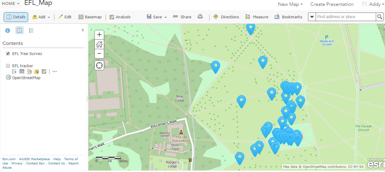
Web map showing the trees that we survey
You can now use the analysis tools in ArcGIS Online to investigate the data you have collected with the group.