The Canal and River Trust have recently uploaded several layers into the Living Atlas, adding to the great UK datasets you can now access via the Living Atlas. Here’s a quick look at my three favourite layers from the Canal and River Trust and how you might be able to use them.
At number 3:
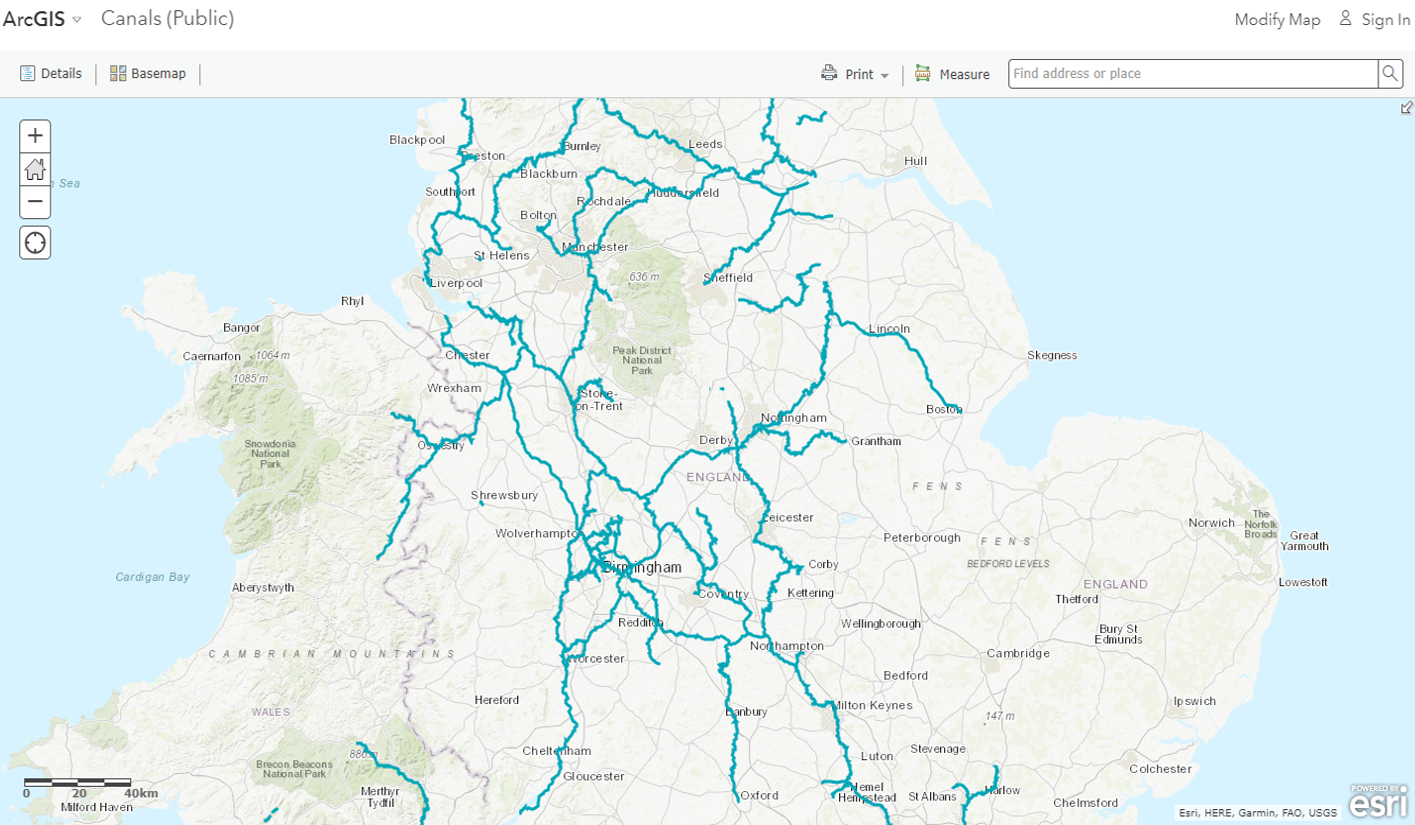
You can now find the locations of Canal & River Trust owned or managed waterways within England and Wales.
At number 2:
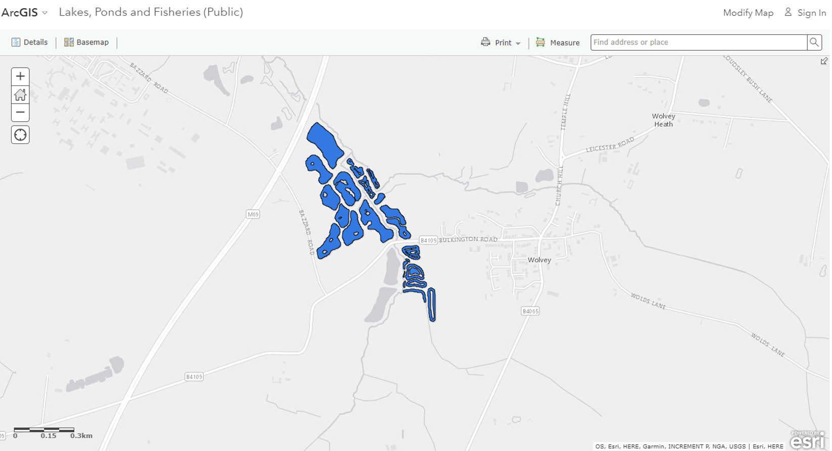
You can view and use lakes, ponds and fisheries data associated with the Canal and River Trust.
My personal number 1:
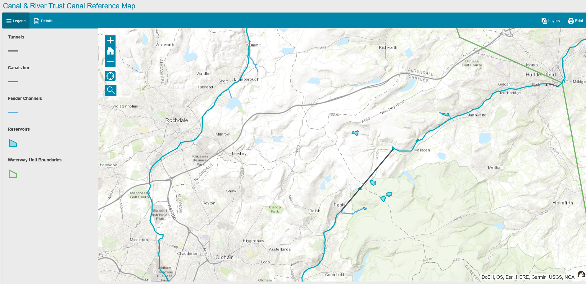
The Canal and River Trust has uploaded their Canal and River Trust Canal Reference Map. This is a great map to view the primary assets which form the Canal and River Trust waterways. As you zoom into the map, more layers become visible such as feeder channels and reservoirs!
How could you use the data?
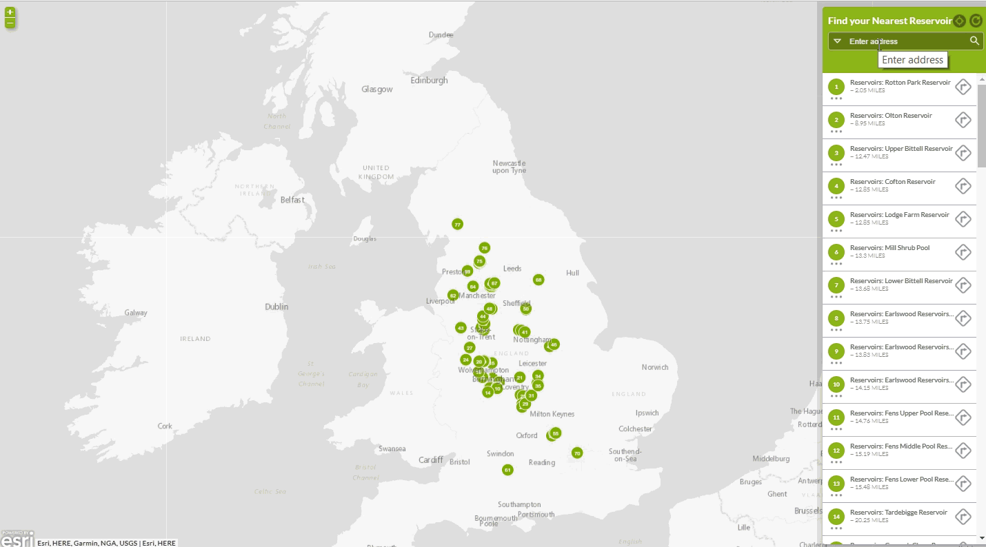
There are many ways you could use the data available in the Living Atlas. This section covers an example of how you could use the Reservoir Polygons now available in the Living Atlas. I’ve created a web application to Find My Nearest Reservoir. This could be used by the public to give them directions to the closest reservoirs to them!
There are plenty more datasets available from Canal and River Trust. You can see the historical data being used near the end of this story map. If you want to find out more or discover other organisations within the Living Atlas then enjoy exploring it here.
![]()